Twizel Man Made Hill Development
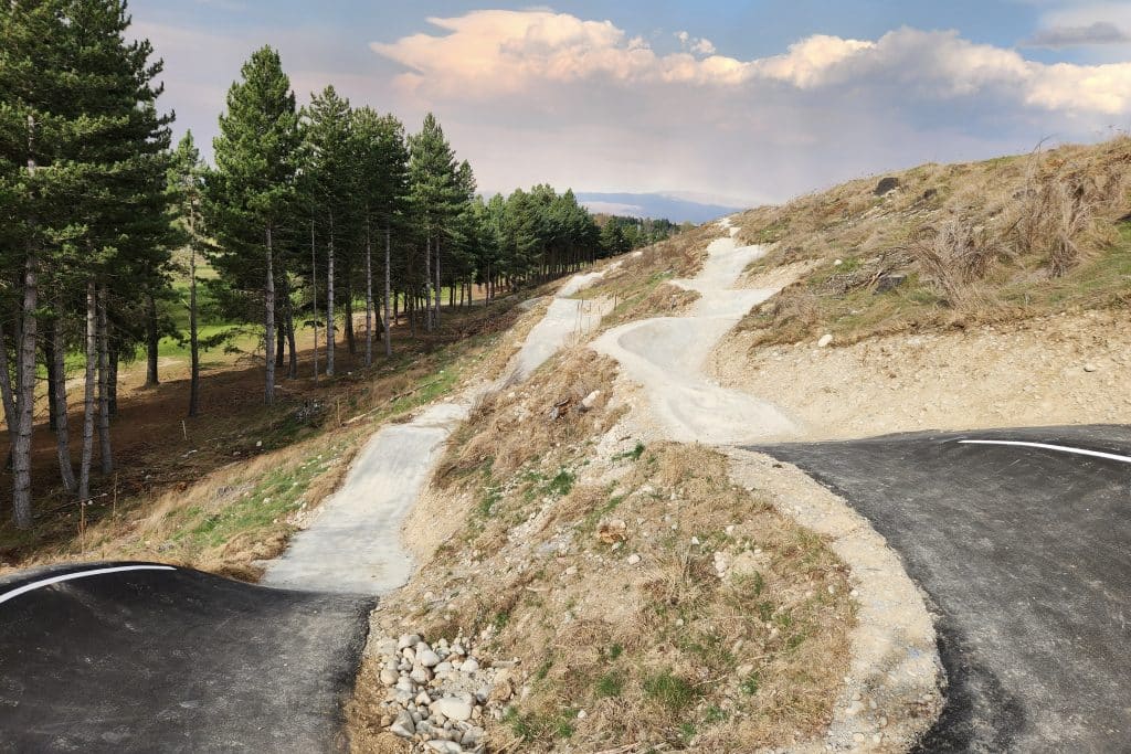
The Twizel Community requested the transformation of “Man Made Hill”, an untidy mound of spoil from the Ministry of Works days. In response, Xyst crafted a concept plan for review and implementation by the Mackenzie District Council. The project’s primary goals were to engage the community, revegetate the hill, and enhance the existing walking trail. […]
Track Asset Review
Undertook a detailed trail assessment of all Ruapehu District Council (RDC) managed trails using Xyst’s trail assessment system and against HB8630:2004. An individual assessment report has been prepared for every trail and this will include a complete assessment of all aspects of trail provision including visitor experience, current and recommended grade, accessibility, CPTED, hazards and […]
Regional Trails Master Plan – The Tracks and Trails of Western Australia’s Wildflower Country and Coast
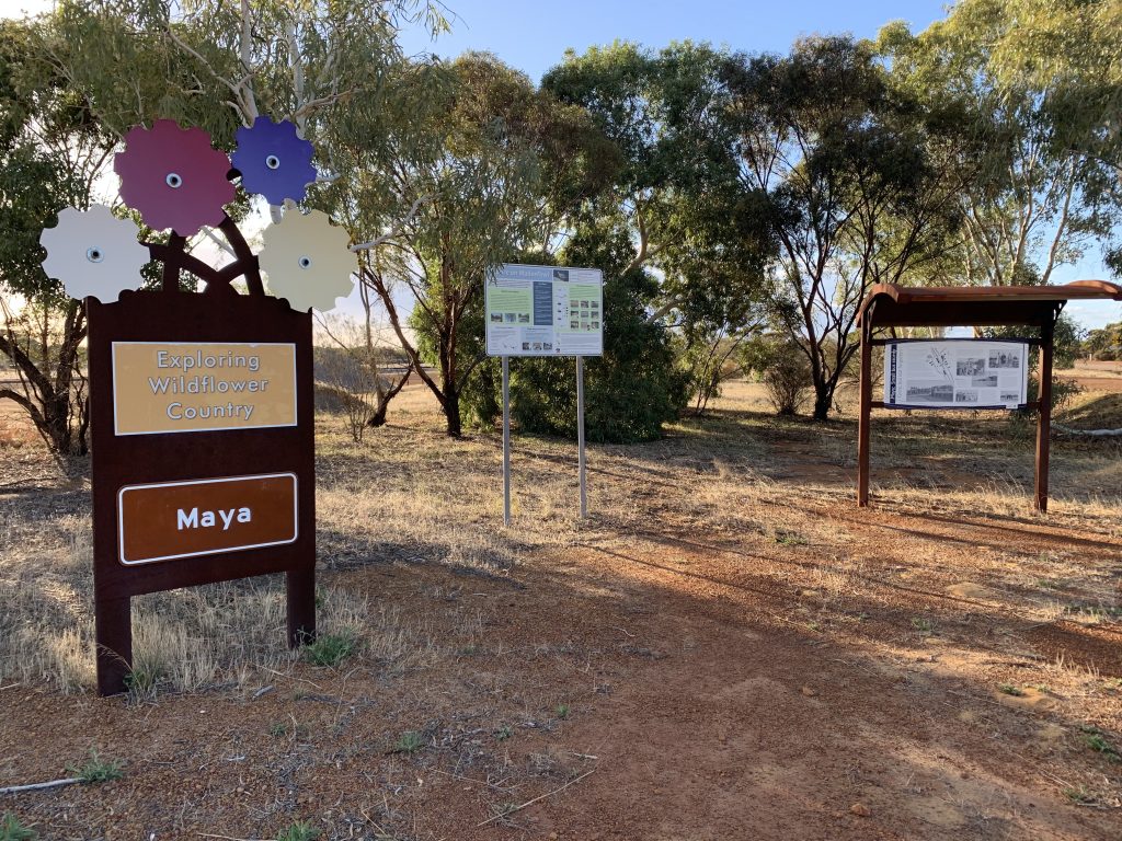
Western Australia’s Tracks and Trails – Wildflower Country and Coasts. Xyst broke the project down into specific tasks made up of: 1. Market Analysis Baseline Data Collation Initial Workshop Desktop Research Benchmarking Levels of Service Framework 2. Site Development: Existing Trails Preparation On-ground Assessments Face-to-Face Consultation Improvements Schedule Existing Trail Mapping 3. Site Development: Proposed […]
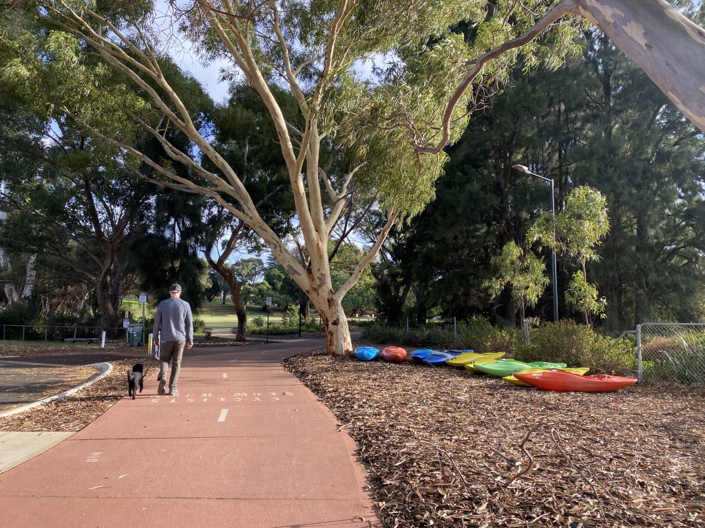
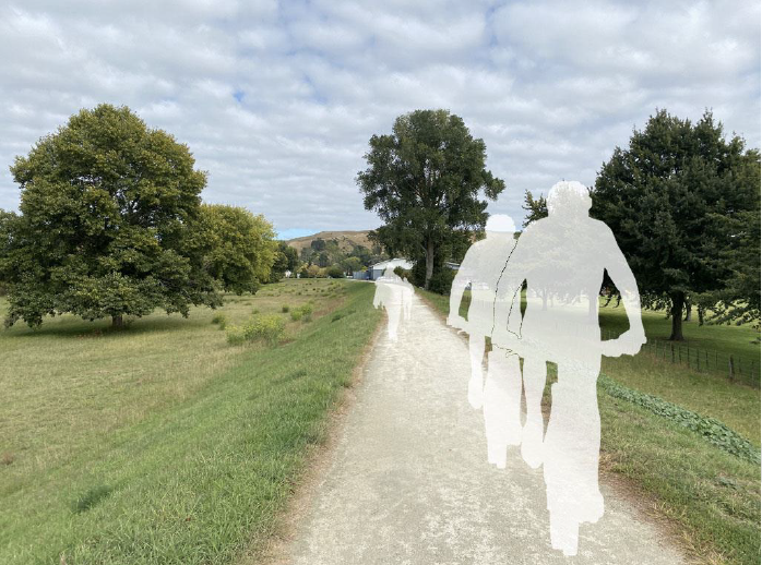
Omokoroa to Tauranga Cycle Trail survey 2020
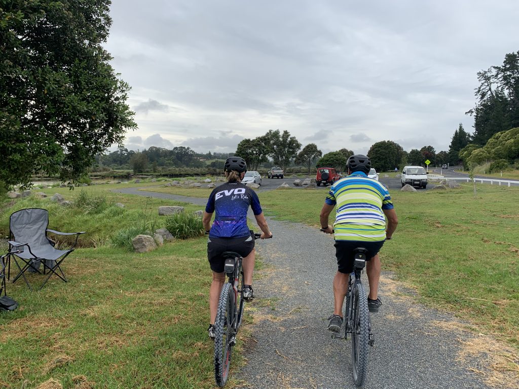
The Xyst survey team collected a total of 200 intercept and online surveys over a period of a week that gave our client (Western Bay District Council) a much better idea of how the trail was being used, and the issues associated with its use. The survey was followed up with a summary report of […]
Swan Canning Riverpark (WA) Parks User Survey
Xyst measured visitor expectations of levels of service by asking them to rate the importance of various park features. These results were compared with visitor satisfaction for the same features. Measuring satisfaction gave an indication of performance as measured against expectations. The difference, or gap between importance and satisfaction, gave a measure of under or […]
Asset & Facility Risk Assessments
New councillors were worried about the risks posed to their community, so the Mackenzie District Council engaged Xyst to perform a risk assessment on a range of community facilities and assets. Xyst’s team started by performing several site assessments, including the Albury Playground, Twizel Machinery Display, and Twizel Pool, producing several advisory reports for the […]
Bass Coast Tracks and Trails Strategy
This strategy identified 36 new trail opportunities to expand the trail network that has been identified during the development of this strategy, (emerging from background research, existing plans and key stakeholder consultation) and to respond specifically to: • recreation trends and preferences • existing trails network gaps • physical linkages/connections • opportunities to enhance community […]
Parks & Facilities Management
Xyst was brought on board after a thorough risk and performance evaluation of the Mackenzie District Council’s parks and community facilities operations. Xyst was then asked to fill a sudden staff management gap, which quickly evolved into a long-term commitment to manage the District’s public facilities, parks, and community spaces. Throughout this period, Xyst’s team […]
Wairarapa Five Towns Trail Network Masterplan
In 2017 the Wellington Regional Trails Framework was endorsed by the partners who initiated it and contained in the framework is a key recommendation to develop the ‘Wairarapa Five Towns Trail Network’ as a signature trail experience. We worked with TRC Tourism develop a masterplan including cost estimates that would enable each Council to progress […]
Coastal Pacific Trail Feasibility Assessment (The Whale Trail)
We provided field route assessment, feasibility and cost estimations services for the development of the feasibility assessment
Glacier Country Cycle Trail Feasibility Study

Xyst worked alongside Tourism Resource Consultants to deliver a feasibility report outlining a proposed cycle and walking trail between Okarito and Fox Glacier that would benefit the community economically without significant detrimental environmental effects. Workshops were held throughout and contact was made with key players to consider a possible route, potential constraints, develop costings and […]
Asset Condition Assessment & Valuation
Xyst was engaged to undertake Asset Collection work on behalf of the Mackenzie District Council, where we used a mobile GIS data collection tool to populate asset data throughout the district’s parks, facilities and trails. This asset information was then used to develop a renewal plan and valuation. This information has also been populated onto […]