Tree Inventory Update
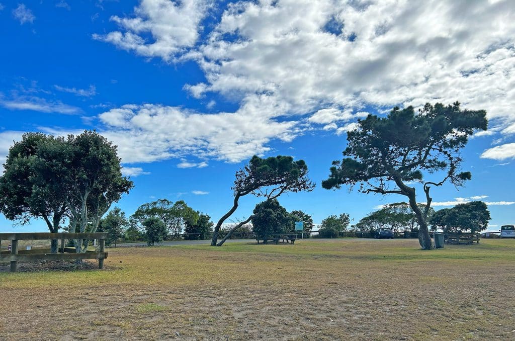
This project is assisting Whakatāne District Council with the implementation of a Tree Risk Management Plan, which sets out an inspection regime for public trees across the municipality. Firstly, Xyst assisted Council to refine their existing inventory dataset. Tree assessments were then undertaken using Councils internal GIS database, and included tree condition and tree risk […]
Tree Risk Management Plan
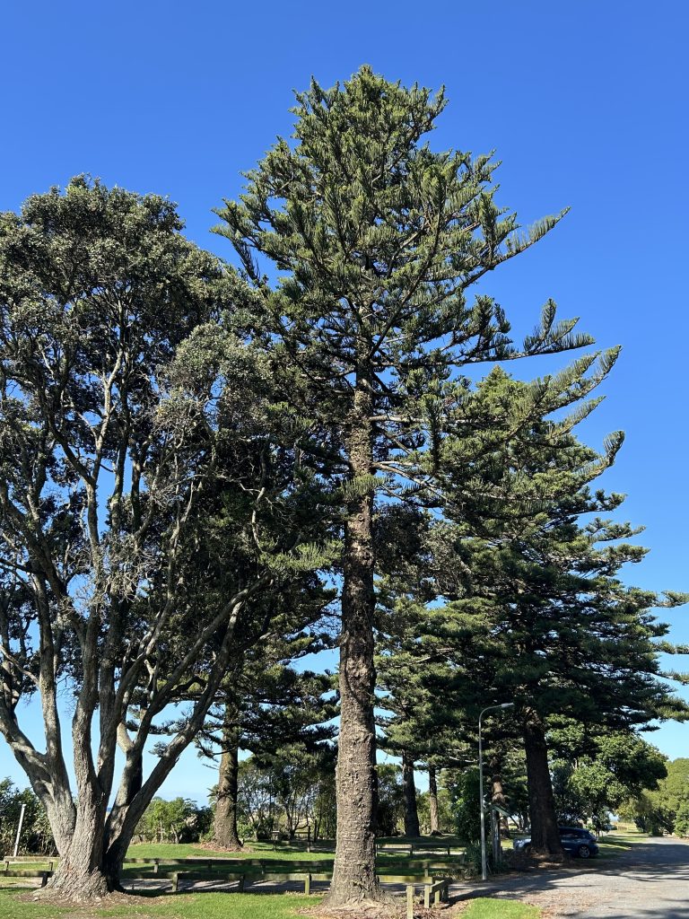
Xyst developed a comprehensive Tree Risk Management Plan designed to prioritise the inspection and maintenance of amenity trees across the district. This plan is guided by the recently adopted Whakatāne Tree Strategy, which focuses on monitoring and maintaining trees and minimising tree-related safety hazards. In developing the plan, Xyst conducted a thorough analysis of the […]
Mark Corea

With over 30 years of experience managing horticulture, parks, and open spaces across Singapore and Australia, I have worked in very diverse sectors including tourism, ornamental plant production, landscape construction, municipal and military facility open space maintenance, golf course, university campuses and local government. I’m very passionate about urban forestry and green infrastructure, I bring […]
Drone Aerial Imagery of Parks and Reserves
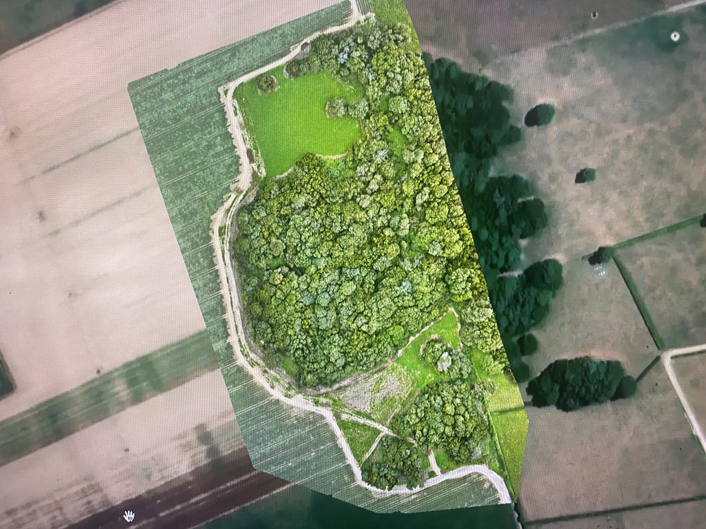
Xyst completed aerial mapping (using a drone) of rural land and reserves to provide a new orthomosaic image to be used for GIS, planning and future concept plan development (including planting/revegetation options). Xyst also captured images that provide a 360 spherical view of the reserve and the surrounding land areas, that can be used in […]
Arborist Contract

Xyst was engaged by Greater Sydney Parklands (GSP) who required a single contractor to complete arboriculture maintenance across the Greater Sydney Parklands’ network including; Western Sydney Parklands Parramatta Park Callan Park Fernhill Estate Centennial Parkland To facilitate this process Xyst produced a suitable procurement plan, contract and tender documents and managed the release of the […]
Ruapehu Tree Data Collection
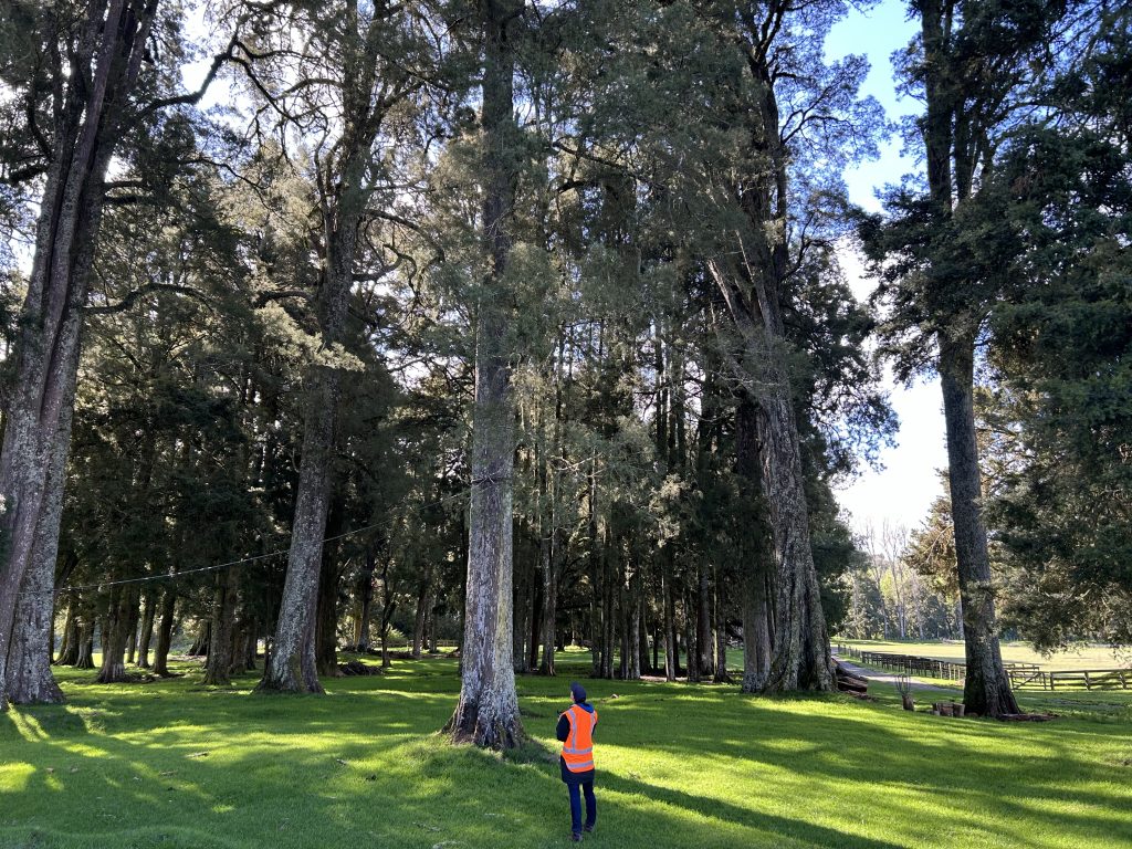
Xyst collected tree data on more than 1,600 of Ruapehu District Councils (RDC) street and park trees. Data collected included GPS location, species, maturity, size, condition, recommended works, life expectancy and a photo per tree. We used our in-house data collection tool to provide the data to Council (via shape file and Excel) for uploading […]
Parks and Community Facilities Planning

Team Leader – 3 Month Cover During the 3 months Xyst was engaged, staff provided support progressing key projects and land use applications, assessing resource consent applications and planting plans, providing general planning advice, preparing a resource consent application and supporting and mentoring the Parks and Facilities Advisor.
Shortland Cemetery Tree Assessment and Maintenance Plan
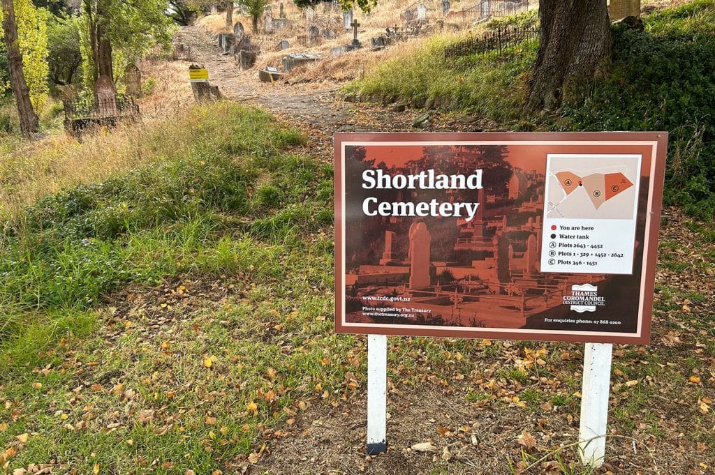
Xyst undertook tree condition and risk assessments on almost 100 trees at Shortland Cemetery. The main driver for this work was an aging tree population and potential damage to surrounding historic assets (e.g. masonry and surrounds). For each tree we collected GPS location, tree species and size data, and we undertook a condition and risk […]
John William Hall (JWH) Arboretum Tree Assessment
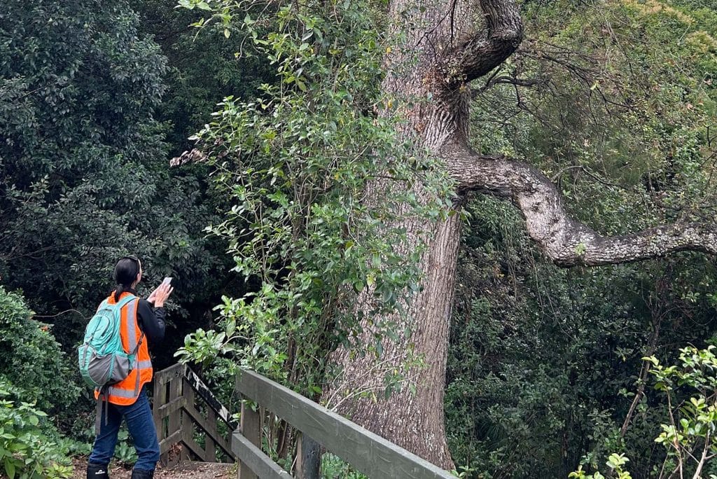
Xyst undertook tree condition and risk assessments of over 100 trees at the JWH Arboretum. For each tree we collected tree location, species and size, and we undertook a condition assessment and risk assessment – Quantified Tree Risk Assessment (QTRA). Assessment data and photos were provided. Data was provided in both spreadsheet (with linked photos) […]
Twizel Greenways Tree Planting Plan & Procurement
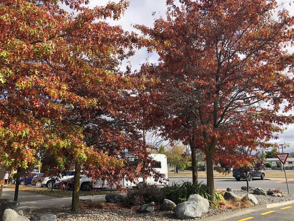
Ad-hoc plantings through the Twizel Greenways led to issues such as shading of properties, damage to fence lines, and the spread of seedlings. In response, the Mackenzie District Council engaged Xyst to identify and implement a solution. Our team started by conducting GIS mapping of the existing trees to better understand the area. Additionally, the […]
Ashburton District Tree Inventory
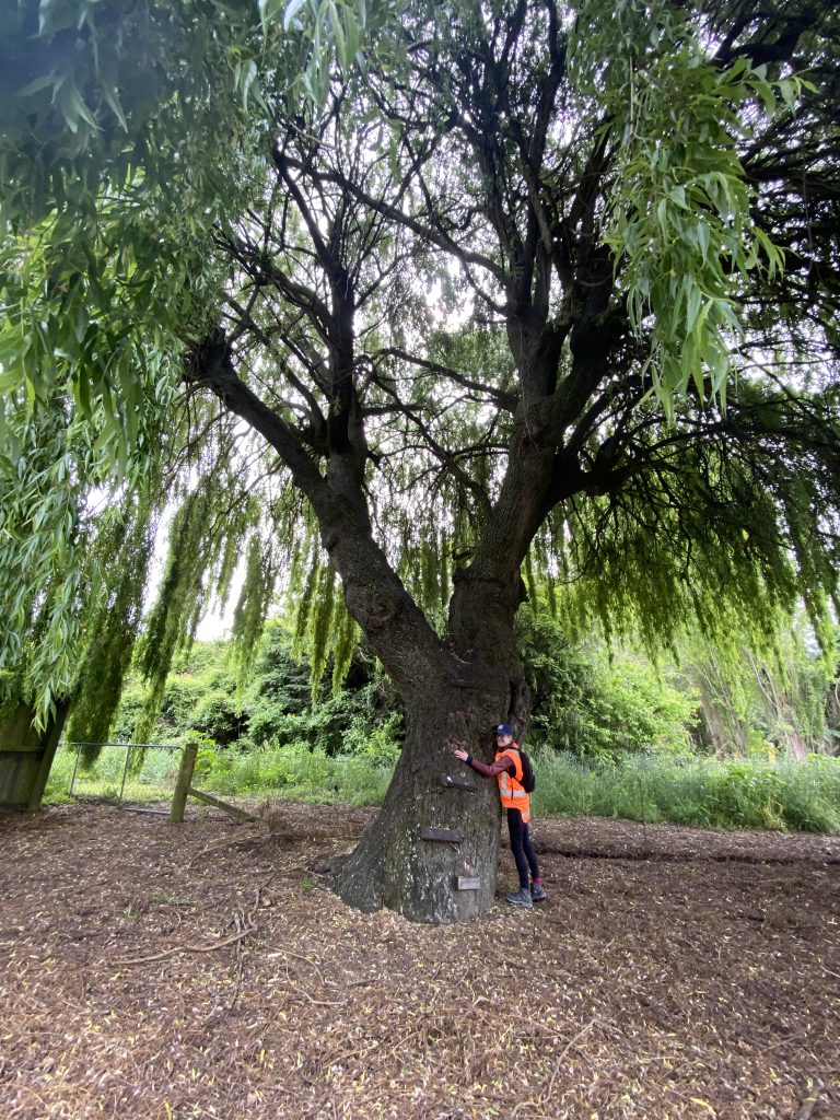
Xyst collected tree data on all of Ashburton District Council’s (ADC) street and park trees including GPS location, species, maturity, condition and potential risk features. We used a data collection tool developed by ADC that enabled us to upload tree data directly into the Council’s GIS system. Data collection took place over several visits timed […]
Lake Tekapo Wild Fire Mitigation
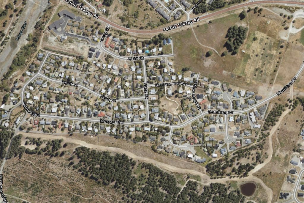
Consultants from Xyst, engaged by the Mackenzie District Council, received a report from Fire & Emergency New Zealand (FENZ) identifying Lake Tekapo’s vulnerabilities to wildfire. This report identified four key risk areas including two blocks of Mackenzie District Council land, the Tekapo River and the Southern Forestry blocks boarding Murray Place and Hamilton Drive. Seeing […]
Twizel Resource Recovery Park – Planting Plan & Planting

Xyst was engaged by the Mackenzie District Council to produce a planting plan and project manage the planting of the Twizel Resource Recovery Park. Xyst’s team started with a site visit to assess the planting conditions, taking into account the soil, prevailing wind, location of services, and other critical site components. Our landscape architect team […]
Ohau Road Reserve Redevelopment

Xyst was engaged by the Mackenzie District Council to revitalise the Ohau Road Reserve in Twizel. The project began with the creation of a concept plan for the reserve. Xyst’s team then utilised these plans to engage with the Twizel Community and gather their input, this work was facilitated through partnerships with the Council’s Communications […]
Lake Alexandrina and Lake McGregor Camp – Revegetation Plan

The Mackenzie District Council engaged Xyst’s consultants to collaborate with Ngāi Tahu, the Department of Conservation (DoC), and the Lakes Alexandrina & McGregor Campground Association to develop a comprehensive revegetation plan to revitalise the Lake Alexandrina outlet creek. The team navigated challenges including the region’s harsh temperatures, the necessity for irrigation, and species with low […]
